Nogodan Climb
Posted by Wesley on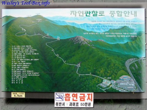
Route Information
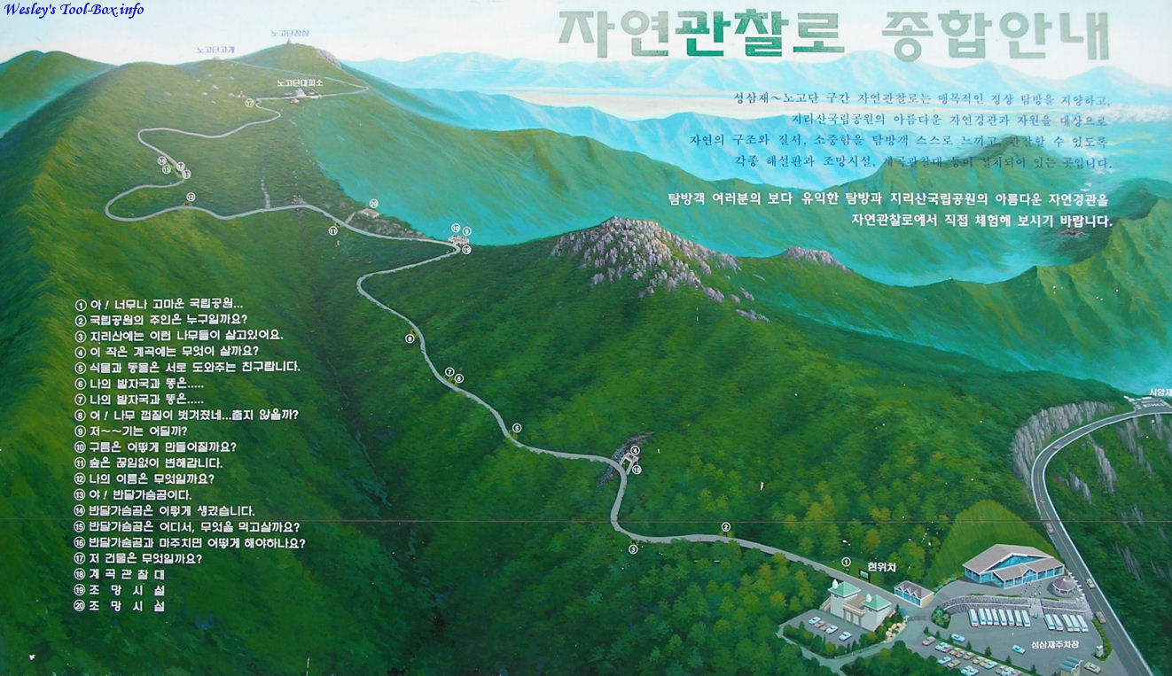
The entrance point to the path to the top of Nogodan is called Seongsamjae. This map shows the details of the 4.7km climbing path from Seongsamjae (lower right) to Nogodan (top left). I have uploaded a cropped higher resolution image of this map.
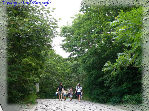
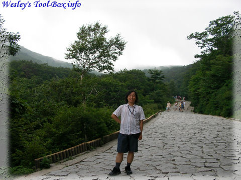
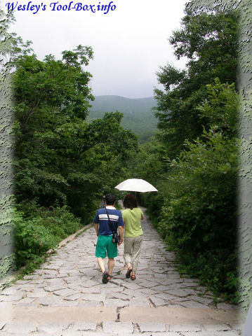
Path Up
The path is built for everyone - you don't need hiking gears to go up.
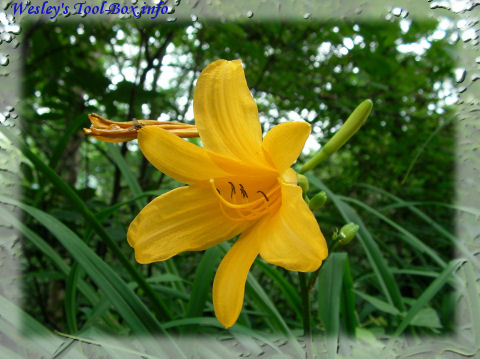
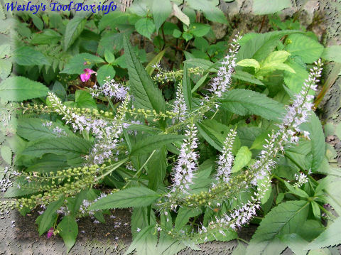
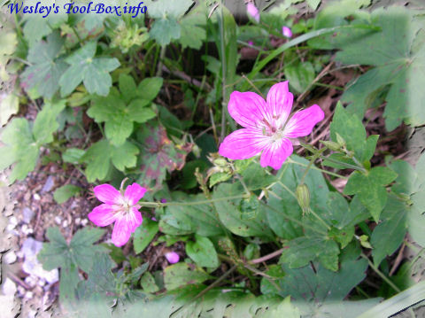
Flower
Since I have a lot of pictures taken but little knowledge of plants, I'll just post them in a series.
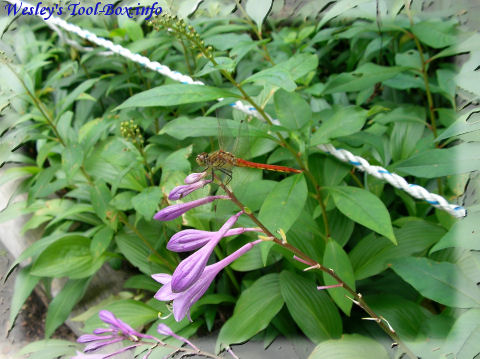
Dragonfly on a Flower
Strange Looking...
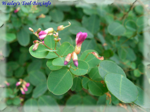
Buds
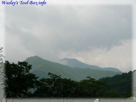
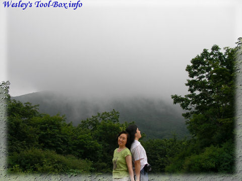
Cloud Hanging
On the way up, the clouds often hung around the mountain.
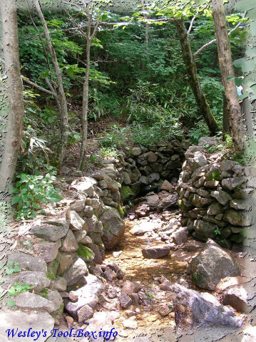
Little Valley
This small valley with a stream flowing is marked on the map.
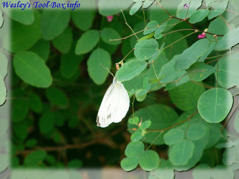
Butterfly
Unlike some of the dragonflies I encountered, the butterflies were very active and didn't rest more than a short while on a branch or a flower. Luckily, I was able to take a picture of one sitting down.
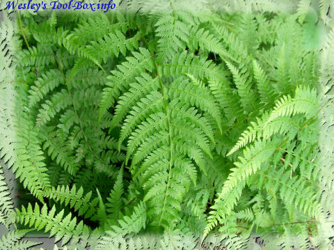
Braken
A-corn
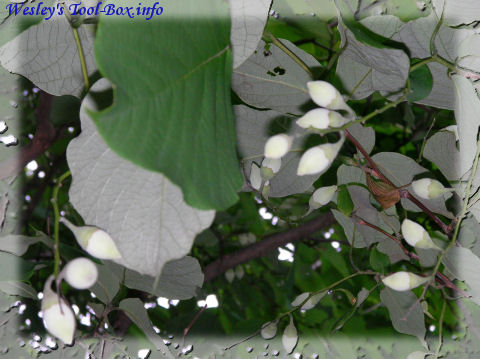
Flower
Still Going Up
Ginger
Wish You Were Here
Here's a photo taken with my mom near the observation deck in a movie poster style.
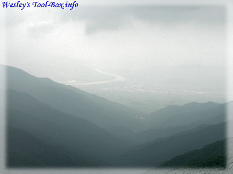
The Faraway View
This is how the whole mountain range looked like from the observation deck.
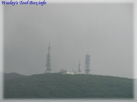
Top of the Mountain
This is the observation deck at the peak of the mountain. We did not have time to visit this place.
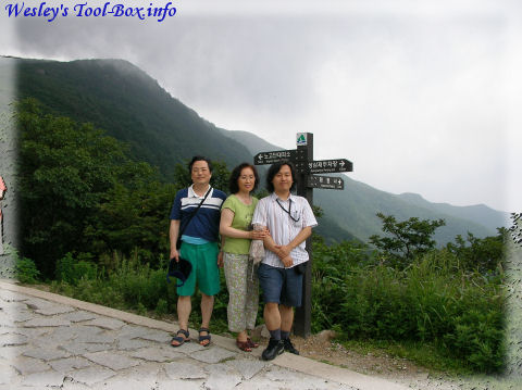
Family Photo
So instead our family took a picture in front of the pointer showing the way to the top.
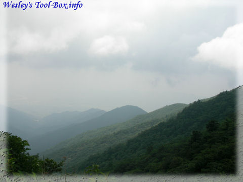
Rippling Range
Another photo of the mountain range, showing a nice ripple look.
Going Downhill
Time to return to the base.